note sui percorsi e consigli tecnici
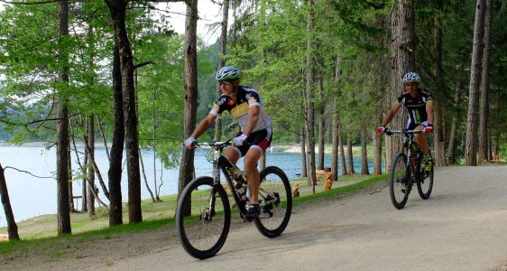
Trails are suitable for hiking and mountain biking, starting around the inhabited centers; they have a linear development, so it is necessary to pay attention to the trekking time indicated (trekking), also counting the return journey to the starting place; obviously the driving direction can take place in one direction or another, depending on the starting point.
The trekking time has been estimated based on the length and the difference in level of each trail, taking into account a comfortable ride, including short stops.
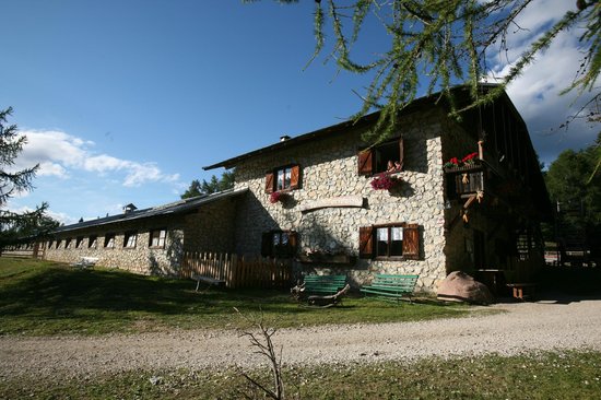
Accessibility is generally good, although there are natural trails, so it is always necessary to take the tour with appropriate footwear and suitable clothing, paying particular attention to the surface, especially if it is wet or frozen.
Before embarking on the tour, especially if it is long and tiring, it is good practice to always communicate the route of the itinerary, the duration and the supposed time of the return to the place of accommodation.
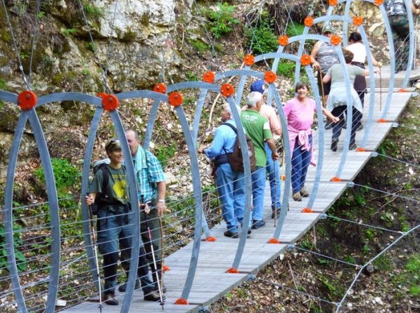
Regarding the route No.5 (Mas del Mont) and No.6 (Sentiero Romano) that from Vigo di Ton, Priò and Vervò reach the “Mas del Mont” of Vervò and possibly the nearby Malga di Vervò, considering their difference in level, as well as the presence of short stretches that are not demanding, it is recommended to organize guided tours.
info
In the download files KML there is technical information with length, difference in level, trekking time, difficulty and arrival, if the trail is suitable for mountain biking and the degree of difficulty, road and parking, support structures, equipped parking areas, scenic spots and places of special interest.
signage
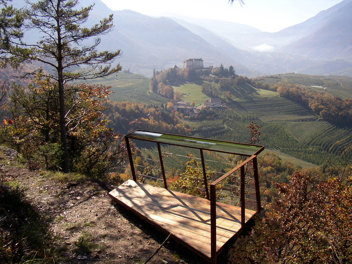
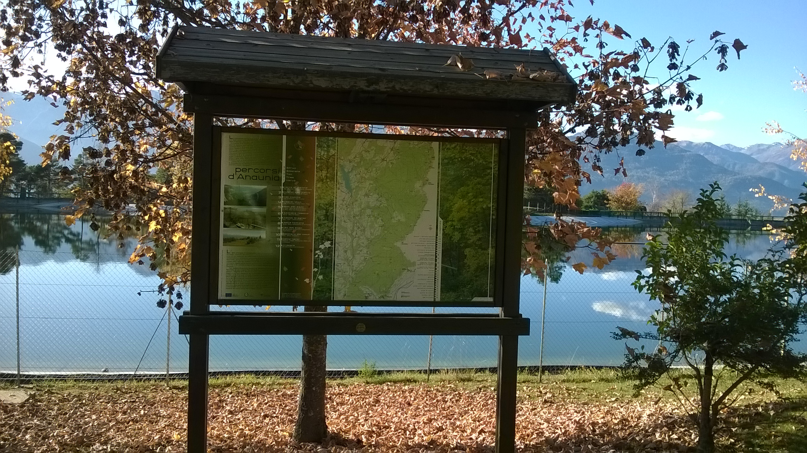
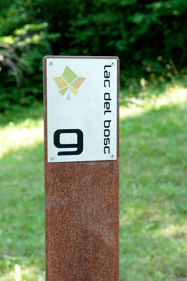
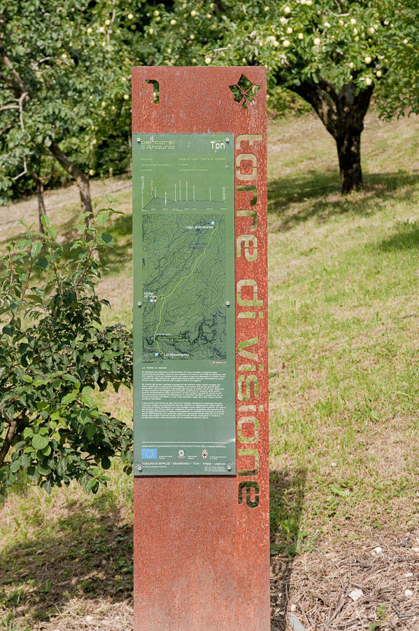
The starting point for each trail is marked with a special panel showing the main information: destination, planimetry and altitude, trekking time, rest areas and places of particular interest; long the trails, at intersections or branches, signs are located, indicating the number and the name of the route you are following.
difficulty
Before embarking on an tour, it is advisable to evaluate the difficulty and the trekking time, according to your training level and preparation. The proposed trails are generally easy and comfortable to travel along narrow streets, mule tracks and low-altitude trails. The most difficult due to the difference in level and the presence of short and exposed equipped stretches of road though not demanding, is itinerary No. 6 (Sentiero Romano) suitable for the average hiker with a minimum degree of preparation.
On each trail there is a concise assessment of the difficulty of trekking and mountain biking:
– difficult D
– medium M
-easy E