 mas del mont
descrizione
Trail from Toss:
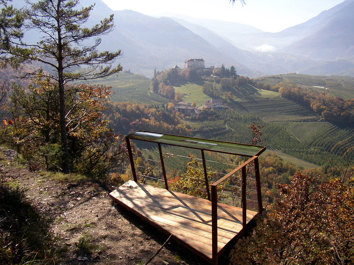
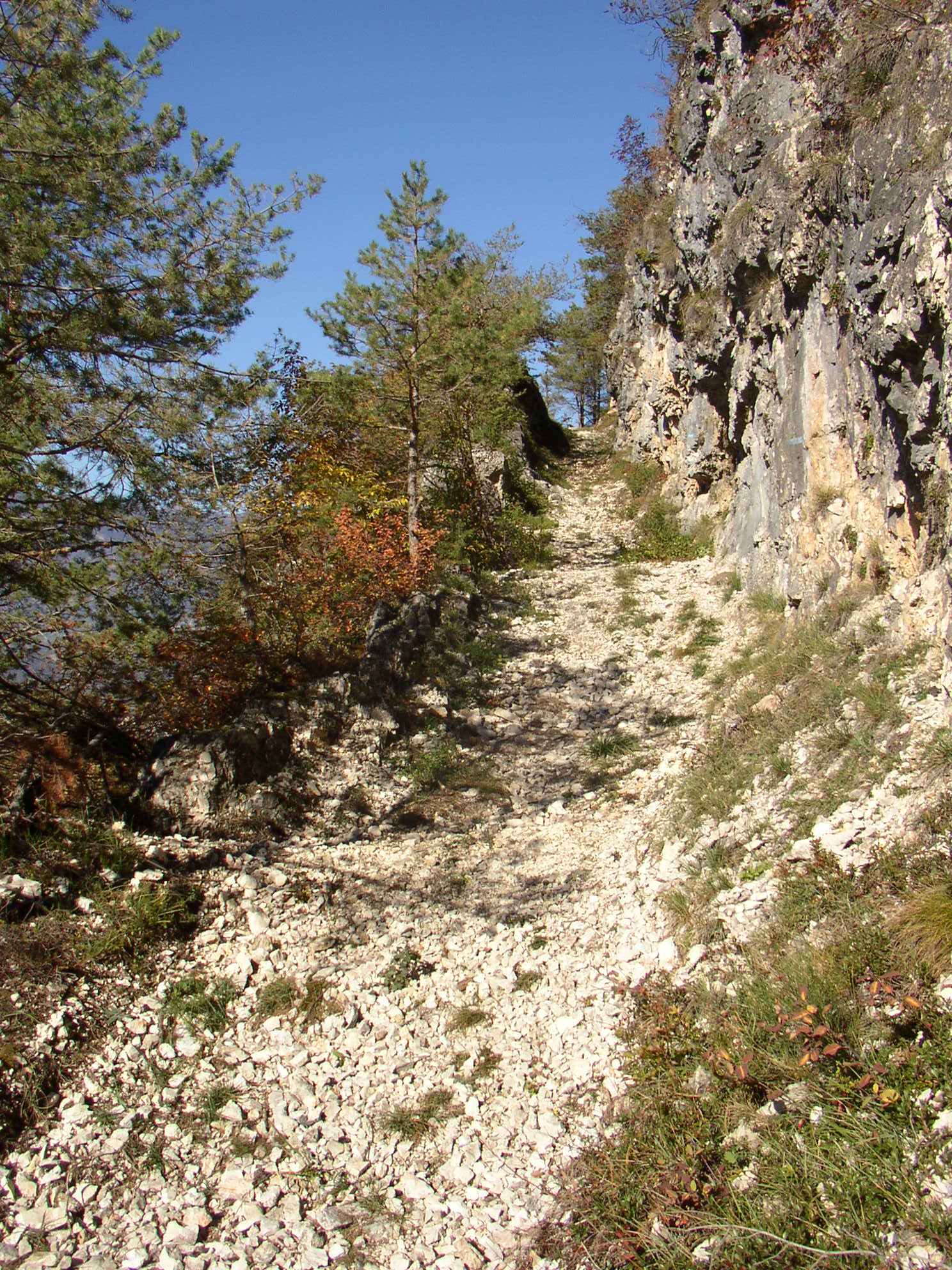
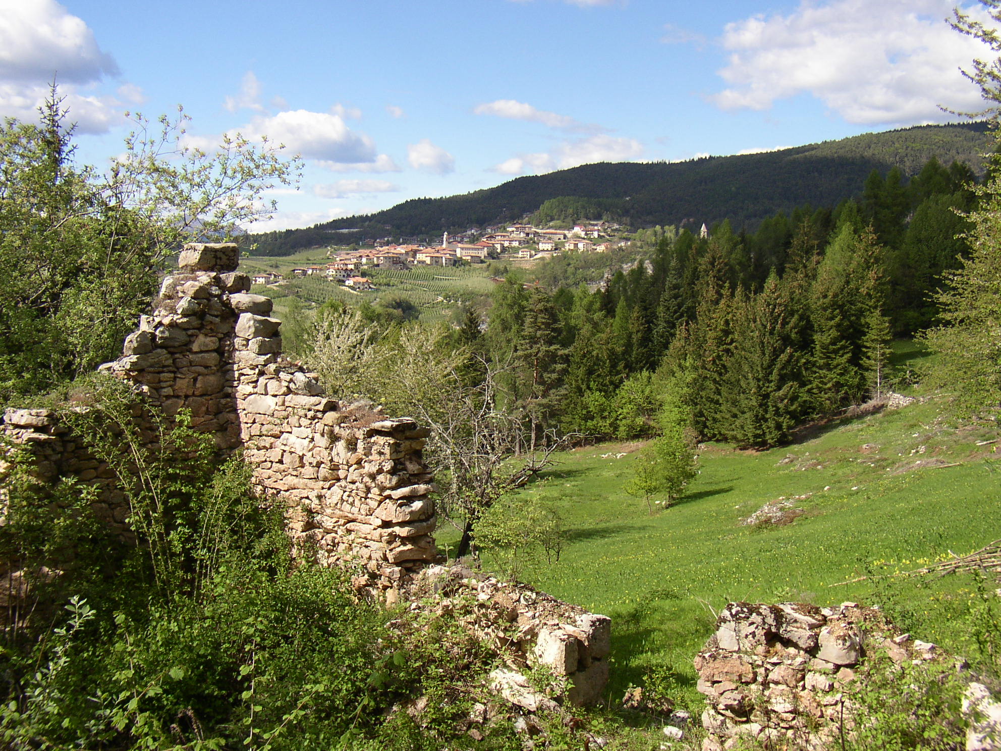
from the village of Toss, north-east, along the asphalted road to Pian della Sega (parking). Immediately before the picnic area, in the east, take the steep old mule track in the pine forest for about 400 m above a 120 m altitude. After a large curve to the left, the track becomes semi-sloping, developing half-shore in the steep rocky slope at the panoramic terrace with a remarkable view to Catel Thun, the Bassa Val di Non and the Gruppo delle Dolomiti di Brenta. After 200 m of mule track between the stoned pines, take a forest road that, with modest slopes and two large bends, rises for about 1.3 km. The easy slope covered with beech woods takes you to the clearing of Prà Ciastel (860 m above sea level). If looking a little further on the left, you will see ruins of a probable place where people used to stop and change the horses.
Ignore the road that rises on the right in a slight ascent, and continue in northeast direction for about 800 m along the flat track through the mixed wood of beech and fir, to the side of a valley (at a wide curve to the left of a forest road). Once you leave this track, take the forest one that runs on the right for about 500 m to the end of the trail, which has become pedestrian only
municipality of PREDAIA municipality of TON
Mas del Mont
(footpath), and which descends to the valley of Val Marzana and then climbs along the opposite slope (stone steps at the ford), until you enter the forest road just over Mas del Mont, reachable by turning left. Possibility to stay and picnic area.
Trail from Priò:
from the square in the cable car area, you descend into the deep Pongaiola stream along the curves of a steep paved road (about 1 km to the bottom valley). After crossing the stream riverbed by the cobbled rocks, the trail rises steep along the opposite side, following the trail of a long forest road that through the woods of Priò leads to the meadows of the Mas del Mont.
Mas del Mont
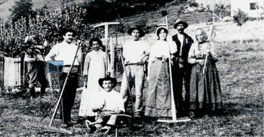
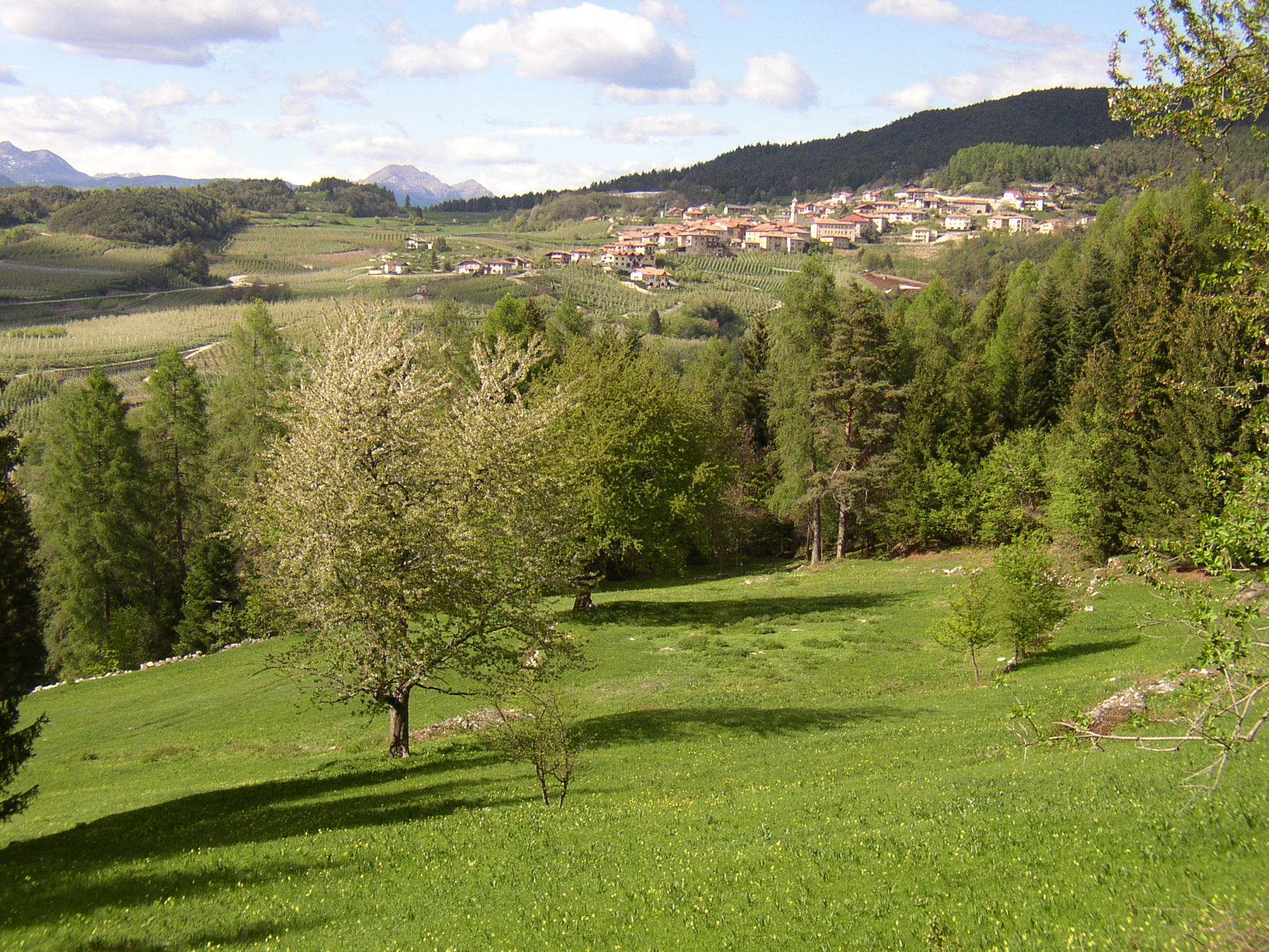
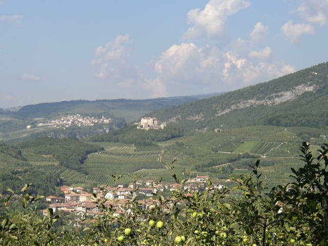
An interesting dotted stretch here and there of large cherry trees, in a panoramic position between the dense pine forests and spruce of the Vervò mountain, at an altitude of 840 m. Until the 1920s, this amenity resort was a permanent human home for livestock breeding and cereal and potato cultivation along the downhill terraces of the buildings where there are still few ruins. This is a precious testimony of the antropization of the mountain through the establishment of a land entity (farm) able to satisfy the needs and livelihood of a rural family through pastures with scattered fruit trees (cherries, apples, pears, plums, etc.), orchards, aratiums and woods located around the family home; attached to this there was the barn for storing the forage needed during the winter months. Mas del Mont, located along the plains on the left bank of the deep valley of Pongaiola, while being far away – just like the air – just over one kilometer from the Vervò and Priò villages, it is separated from the deep stream of the Torrente Pongaiola.